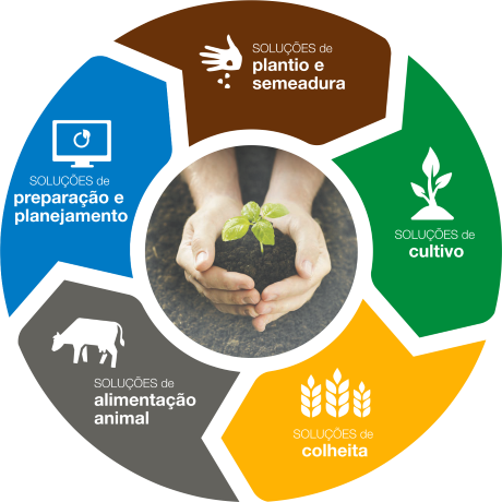
Our services
We have passion for amazing technology
Innovative Solutions for Geotechnology
Dusiqueira is a company dedicated to the supply of Geospatial technologies applied to Agriculture, Mining, Construction, Forensics, Urban Management e Environment. We provide high performance software and hardware that utilize the Global Satellite Navigation System (GNSS) and all necessary Geo IT infrastructure for our customers.
Consulting
We act as facilitators for our customers to invest in products and services that will revolutionize the way they view your business. With the explosion of electronic equipment shipped on agricultural machines with varied applications, brands and models, it was necessary to develop processes, indicators and ways of working for a previously unmapped area. Problems in the deployment, equipment, parameterization and integration of data, have become increasingly common. We act by conducting training, organizing processes and supporting decision-making in large projects..

Be our partner.

Weather Maps
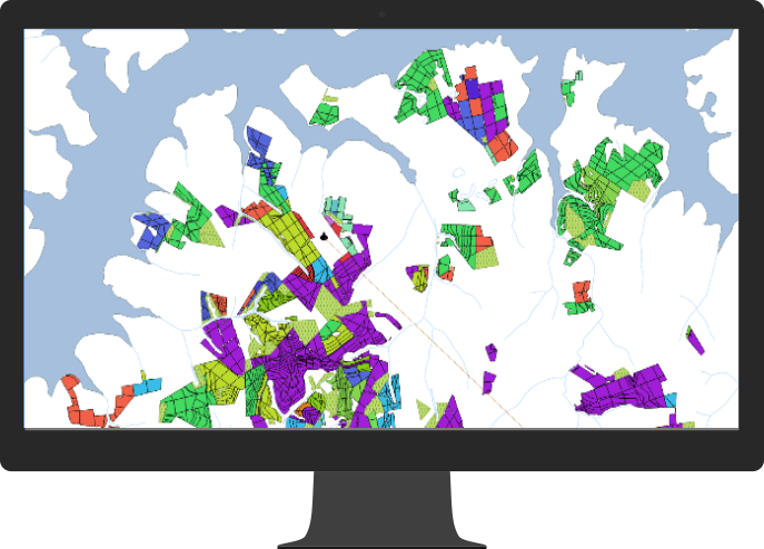
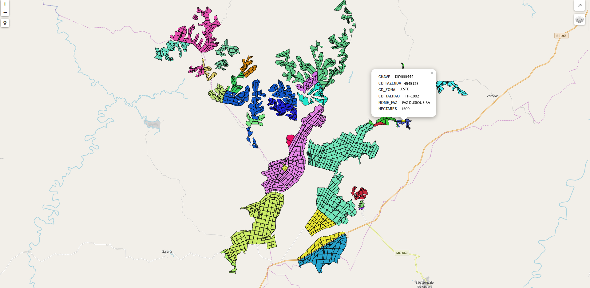
Digital map and GIS

Agricultural operations maps

Management Areas
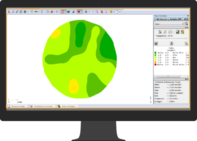
Fertility Maps
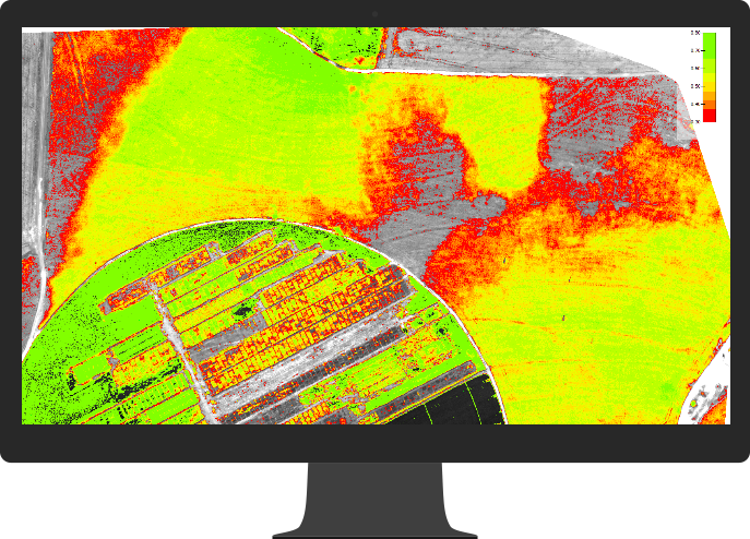
NDVI to study research areas

Mapping of sugarcane guindance.
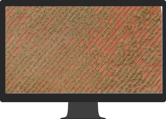
Failure analysis in sugarcane plantation
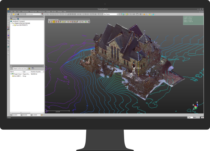
Three Dimensional Environments
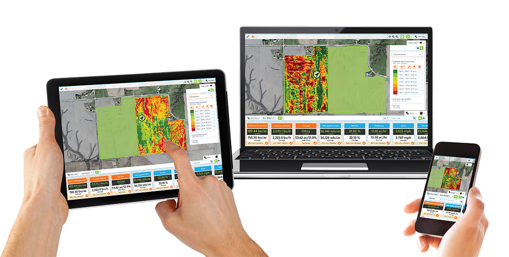
Always take your information with you
Information management is increasingly complex, either by the amount of information or by the number of updates the information suffers in a short space of time, and to make it available and share it with teams and work teams.
Information that may be available not only on desktops but also mobile devices.
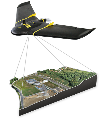
Aerial image processing.
The use of vant agriculture and topography is already a reality with this, we are ahead with leading equipment in the market, for leasing and service rendering as area systematization, NDVI, cadastral area update, crop failure control, identification of anomalies, and everything that can be developed in partnership with our clients.
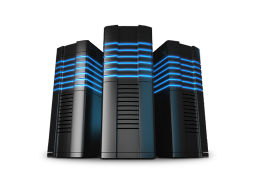
Dedicated Servers
With many data collected in the field with Vant, normal computers take a long time to perform the information processing, depending on the work takes days, and each modification and reprocessing takes more days, in addition the work with more efficient and robust hardware, brings a better precision in the final result of the projects, with software and graphics servers for image processing, rendering, and robust tools to develop and deliver projects quickly and quality to our customers.

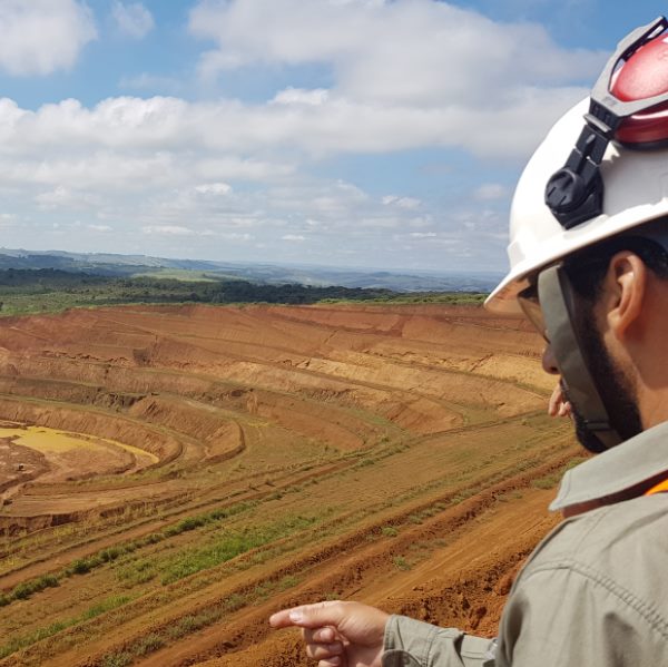
Mining Processing
Guindence of planting and harvesting of sugarcane
Three-dimensional rendering
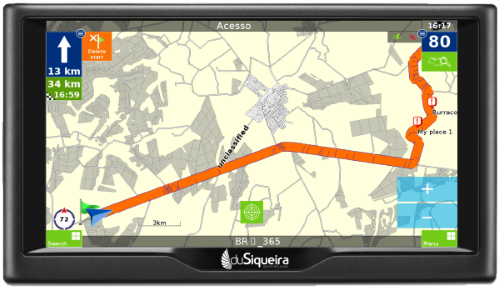
Use road maps from your farm.
Need routes to rural roads? Routes for emergencies? For employees and third parties who do not know the rural property?
We do it for you.
- Routes with dirt roads
- Routes with asphalted roads
- Routes for light or heavy vehicles
- Alarm for kills, doormen, rotary, counter.
- Single direction for trucks and buses
Digital Map book
Take your information with you always!
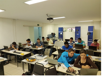
Training
With the explosion of electronic equipment shipped on agricultural machines with varied applications, there is a constant need for training, bringing great competitive advantages to the professional, and benefits for agricultural property such as economy in agricultural inputs, assertiveness in decision making, betting on improvements agricultural production.
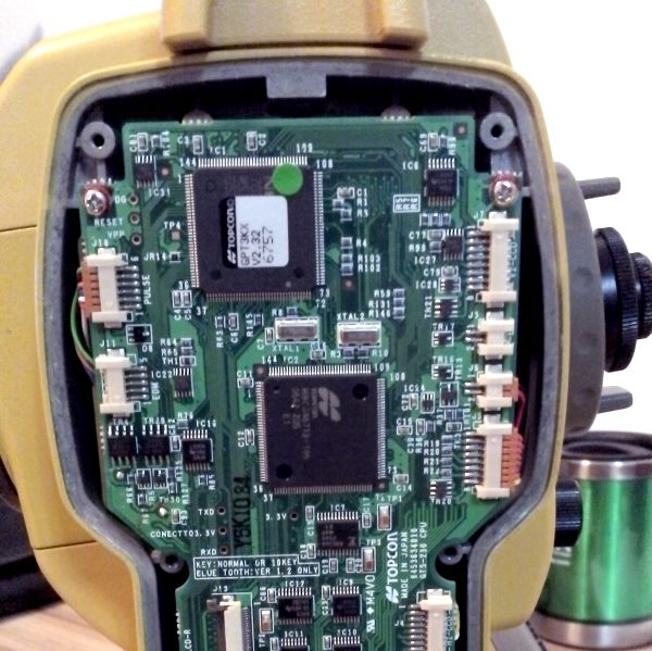
Technical assistance
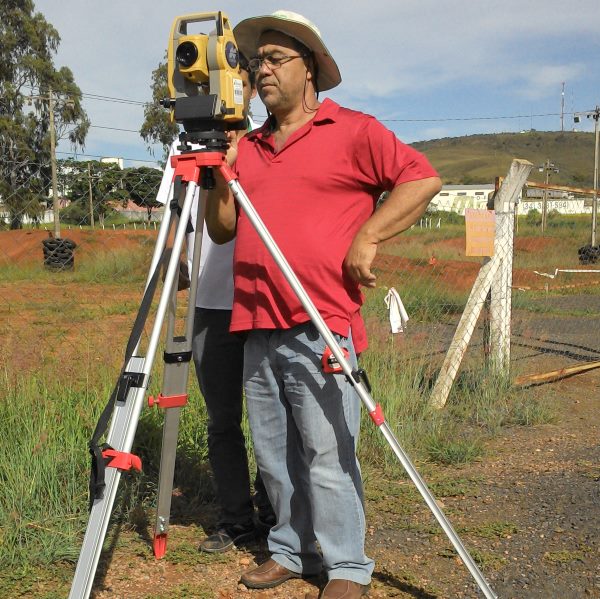
We have known Dusiqueira for 5 years, we have developed several works together, implanting and improving practices involving the use of technologies in agriculture, such as soil sampling, use of autopilot, RTK system, systematization of areas, use of Vants applied to agriculture, recommendation agronomic and improvement of our internal processes, since we work with several brands of equipment such as John Deere, Trimble and Ag Leader. We found in Dusiqueira a team that supports all technologies in one place.
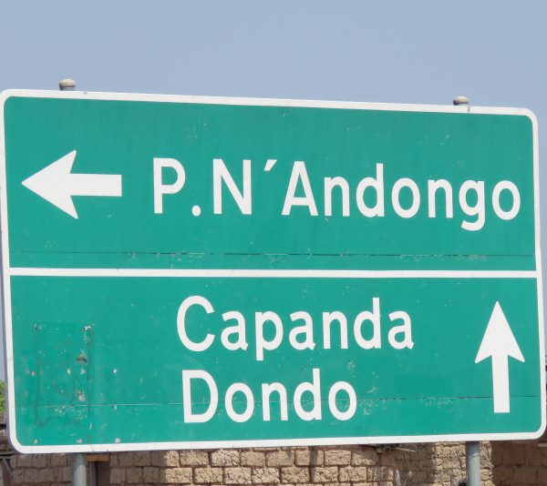
In 2014 we were looking for a company in Brazil that would support all the areas that Precision Agriculture and Topography involves within agriculture, to assist in the implementation of a complex project in Angola, Dusiqueira was the only one able to withstand with knowledge and we have since been reaching our goals and deploying tools and solutions that have made our business a model on the South African continent.